GeoConservation
Protecting geodiversity, geoheritage, and geological education across Lebanon.
ACE in action
GeoConservation
We protect Lebanon’s geological heritage and make earth science accessible to the communities who live alongside it — combining scientific study, on-site interpretation, and long-term advocacy.
- Mapping and documenting geosites
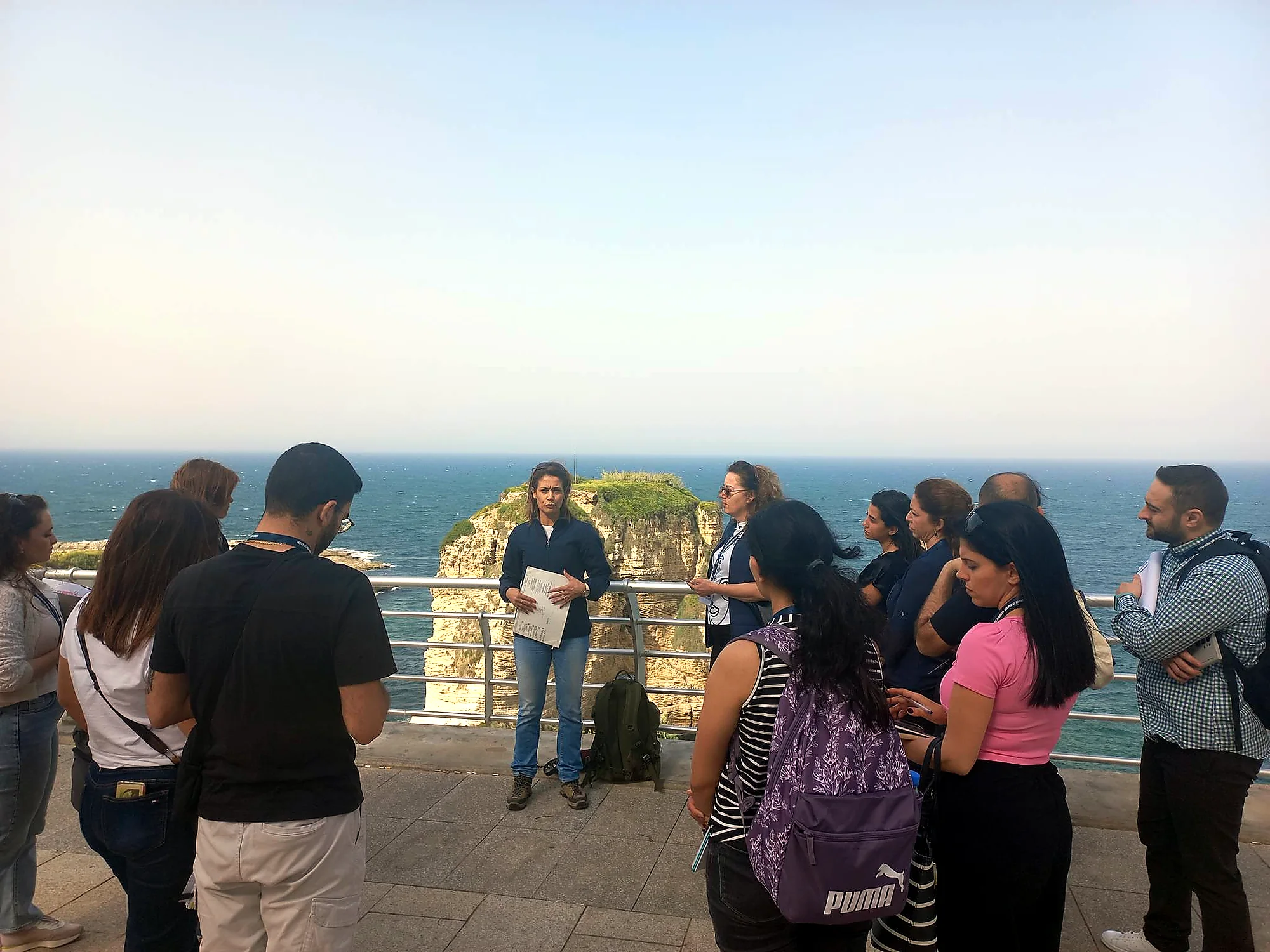
- Field interpretation and interpretation trails
- Earth-science education and outreach
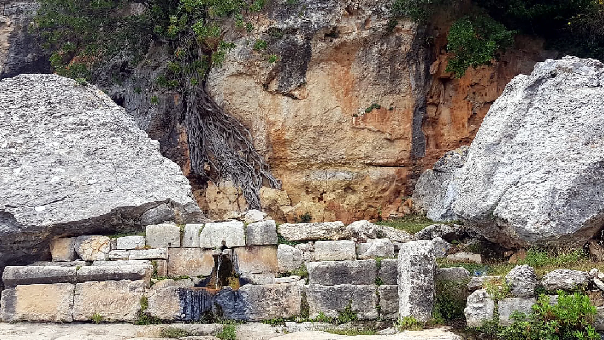
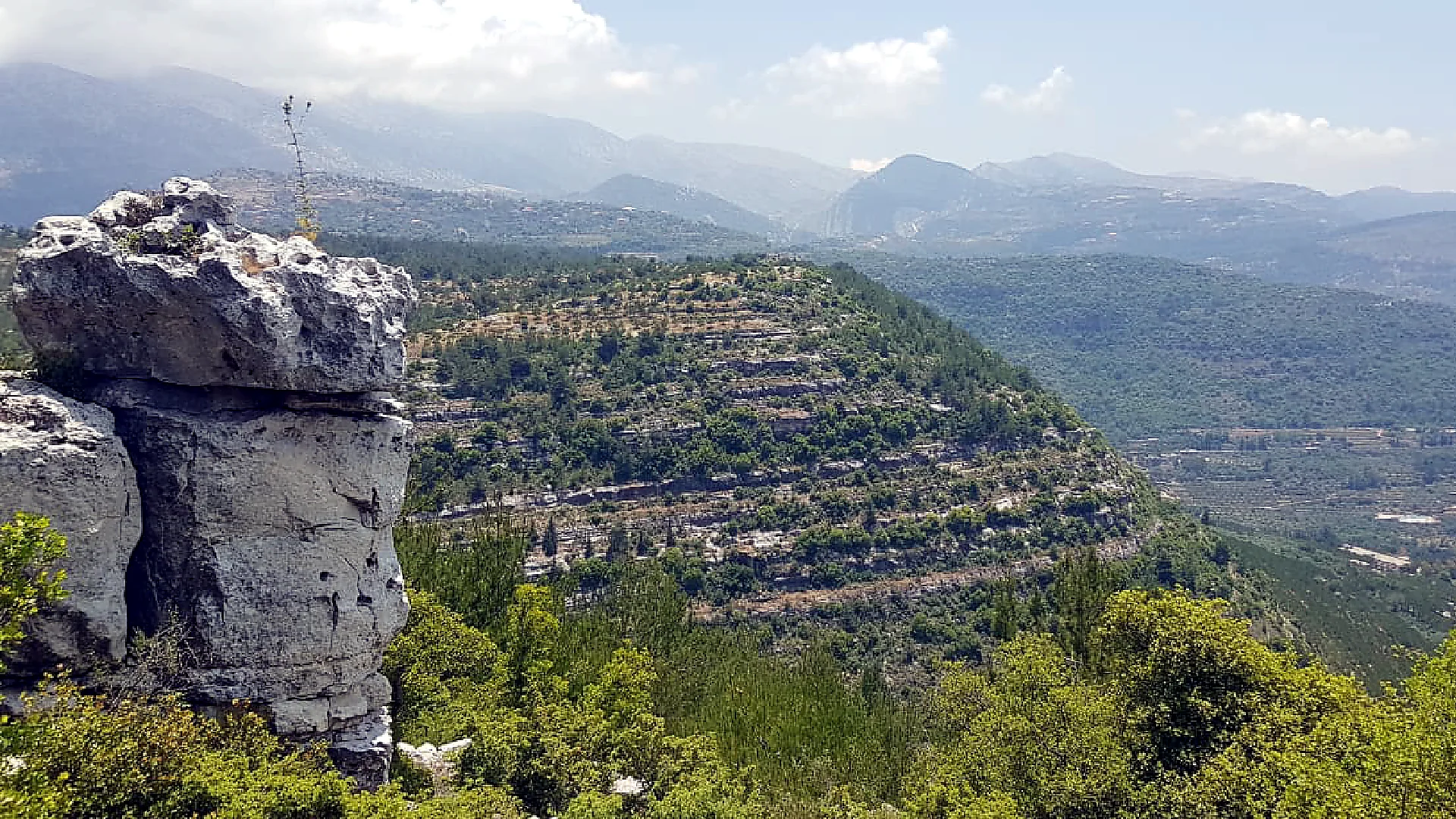
Field visuals
What this page highlights
A closer look
Geoconservation as sustainable development
ACE maps and documents geosites across Lebanon, recording their geological and geomorphological features through field surveys, photo-interpretation, and GIS. Alongside this, we track the human pressures that threaten them — from environmental degradation to expanding urbanisation.
From the springs of Ras El Ain in Tyre to the fossil-rich landscapes of Jezzine, we build scientific and promotional material that helps residents, visitors, and decision-makers understand why these sites matter — and how to safeguard the aquifers, rock formations, and history they hold.
We also study how communities perceive these places, so that protection is shaped together with the people who live there. For ACE, geoconservation is a form of sustainable development: protecting the land while giving local communities the knowledge, and the reasons, to protect it themselves.